Es Mercadal · North coast
Cala Tirant
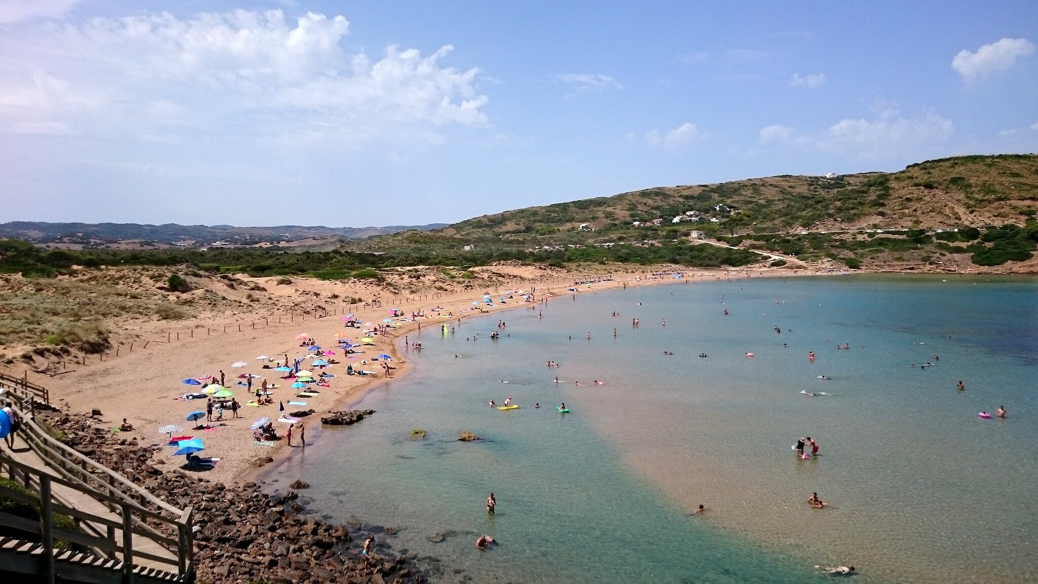
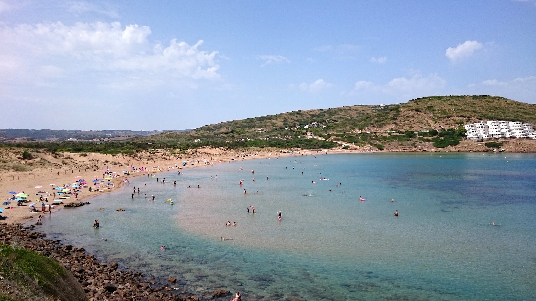
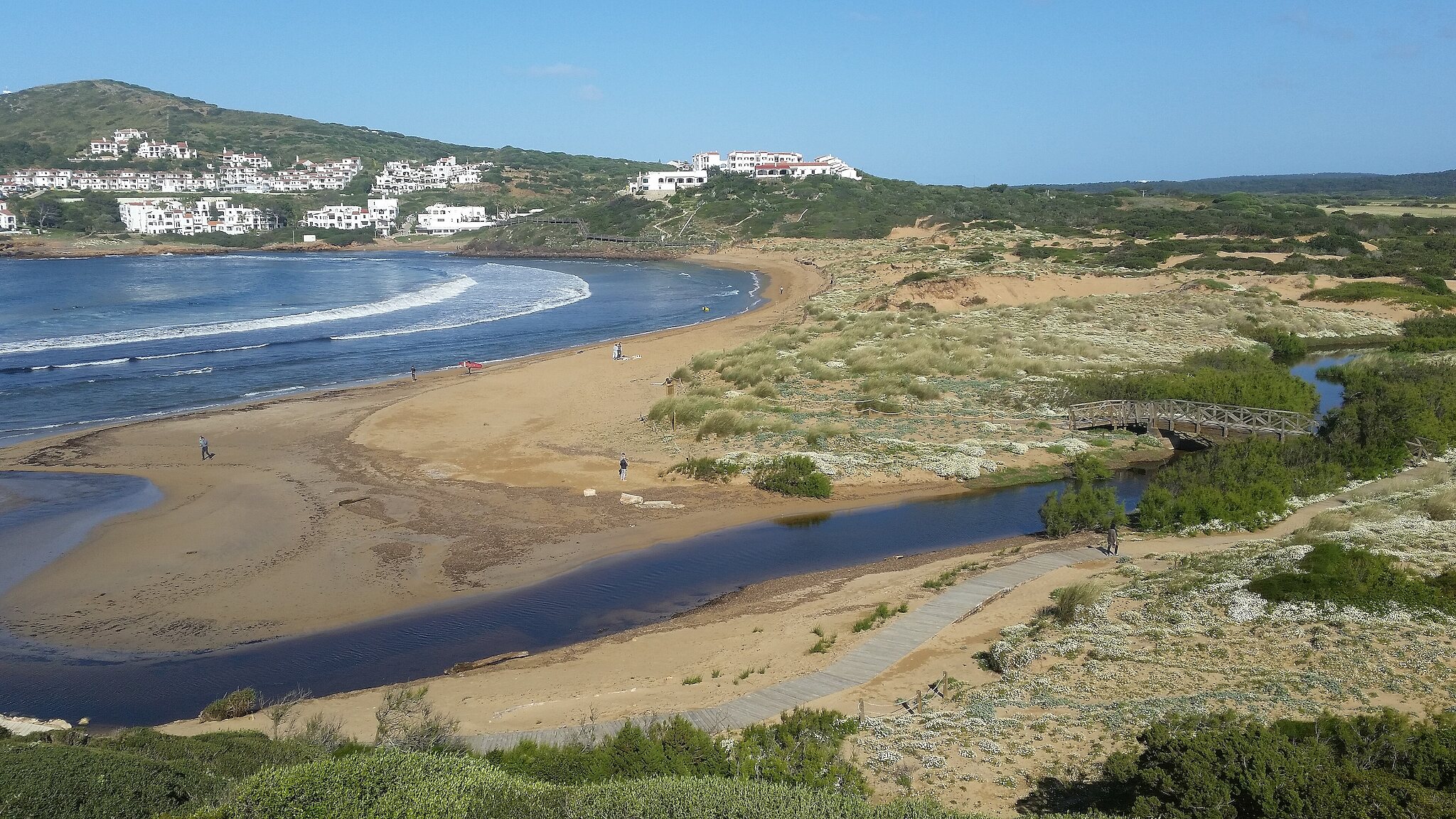
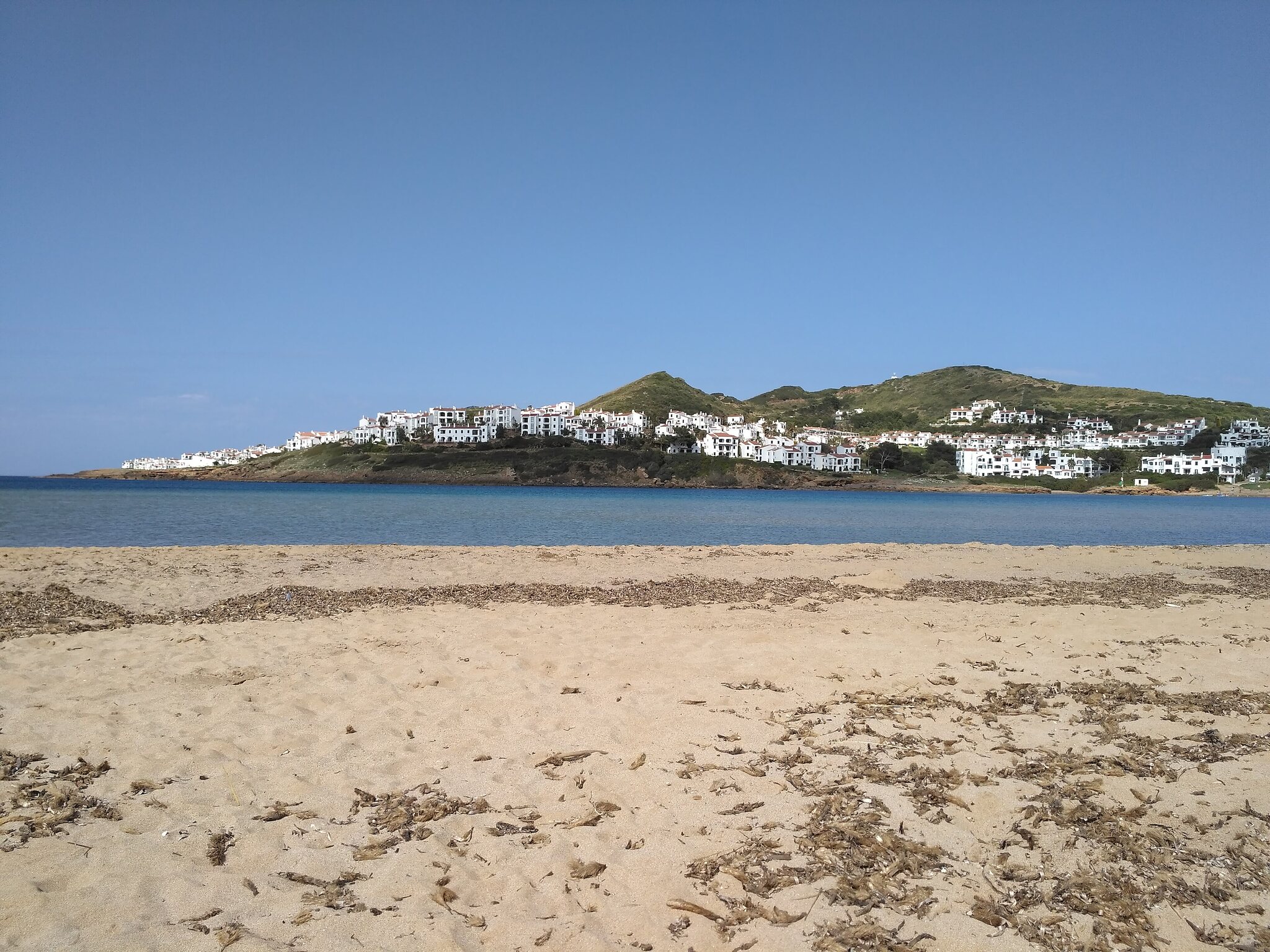
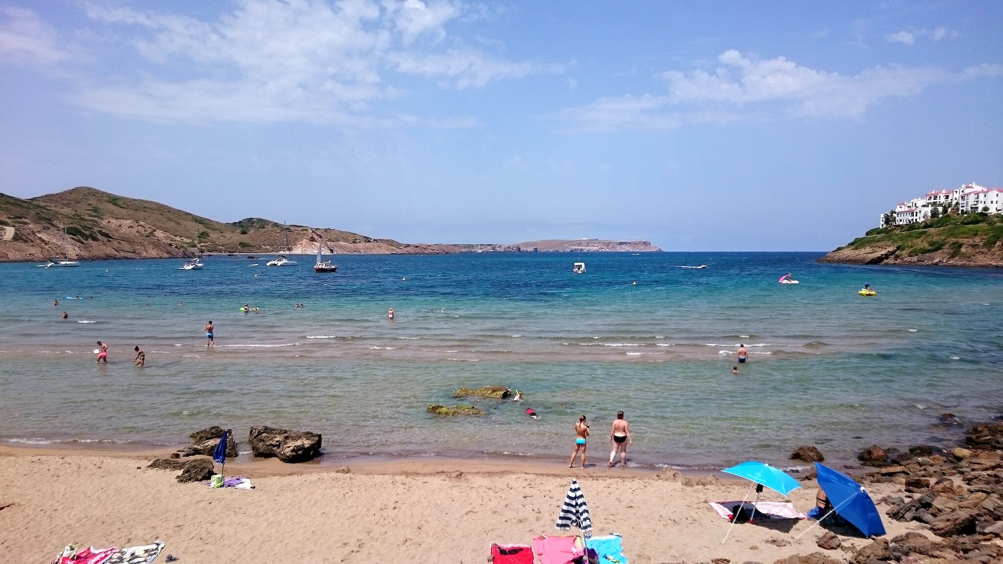
A sheltered sandy bay near Fornells, backed by dunes and a wetland that you can explore on a wooden boardwalk.
View live conditions & forecast →





Getting there
From Es Mercadal follow signs to Fornells and the turn-off for Platges de Fornells. Parking near the beach; the road through the built-up side gets busy, and the other side often has more space.
Where to eat nearby
- Sa Llagosta (Fornells) — David Coca’s restaurant, known for lobster dishes including caldereta, for more than 25 years
- Es Cranc (Fornells) — One of the town’s best-known restaurants for caldereta de llagosta
Restaurants, menus and opening hours change from season to season; many close in winter. Check before you go and book in summer.
Good to know
- No services on the beach itself: bring snacks and drinks.
- Fornells, about 4 km away, is the island’s best-known place for caldereta de llagosta (lobster stew). Book in summer.
Worth combining
- The Tirant wetland and dunes.
- Fornells village and bay.
- Cavalleria and Cap de Cavalleria to the west.
Webcams
Nearby cameras may not show the beach itself. Check the capture time on still images.
At a glance
- Municipality
- Es Mercadal
- Coast
- North coast
- Setting
- Small settlement
- Sand
- Golden sand
- Length (approx.)
- 300 m
- Parking
- Free car park
- Walk from parking or bus
- ~6 min
- Food
- Beach bar or kiosk
- Bus
- Resort bus routes
- Camí de Cavalls
- Stage 5
- Coordinates
- 40.0442, 4.1038
Lifeguard · Family-friendly · Dunes
Beach coordinates, lengths and walking times are approximate. Facilities and bus services change by season; check current local information before travelling.
Weather & swimming conditions
Forecast fetched: · Menorca time
- Air
- 19.9 °C
- Sea temperature
- 22.6 °C
- Wind
- 11 km/h
- Gusts
- 17 km/h
- Wind from
- N
- Waves offshore
- 1.1 m
| Menorca time | Air | Wind | Gusts |
|---|---|---|---|
| 19.9 °C | 10.2 km/h | 16.9 km/h | |
| 19.8 °C | 10.1 km/h | 16.6 km/h | |
| 19.6 °C | 10.1 km/h | 16.2 km/h | |
| 19.3 °C | 8 km/h | 15.8 km/h |
Open-Meteo model forecasts, not on-site observations. Offshore wave data may differ from conditions inside the cove. Wind from land can push swimmers and inflatables offshore. Follow local flags and lifeguard advice.
View live map & full forecast →
Wind & shelter
The catalogue records this beach as opening towards N. Wind coming from that direction can drive waves towards the shore; wind from the opposite direction may give more shelter near the sand. Headlands, terrain and offshore swell can change the result.
North-facing beaches such as Cavalleria can be exposed during Tramuntana. Compare south-coast alternatives and the actual wind and waves before travelling.
Plan your beach day
Guide sources
Practical notes compiled in October 2026. Check seasonal information before travelling.
Nearest beaches
 Cavalleria2.9 km in a straight line · ~7 min walk from parking
 Binimel·là4.3 km in a straight line · ~7 min walk from parking
 Son Parc5.1 km in a straight line · ~1 min walk from parking
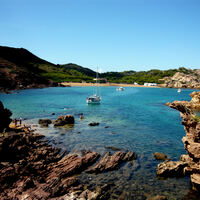 Cala Pregonda5.6 km in a straight line · ~30 min walk from parking
Thumbnails are cropped from freely licensed Wikimedia Commons and Flickr photos; each guide credits the author and licence.